All the information. All the time.

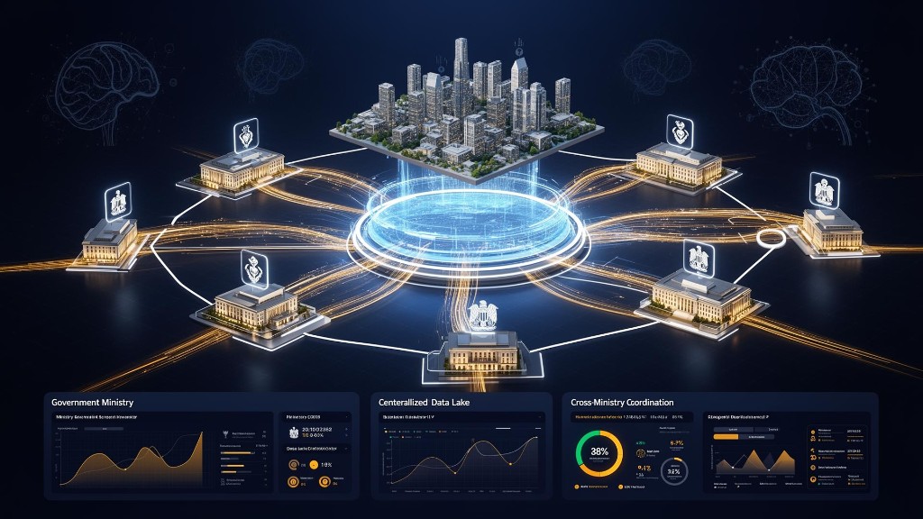
From today, manage your infrastructure, industries, and entire city through an innovative system that reflects everything in real time.

Integrated Geospatial Solutions

From urban planning and smart infrastructure to defense and national security — our solutions span every domain where spatial intelligence matters. Powered by Hexagon's world-leading technology, delivered by GeoTwins' expert team.
DataHub 360
Government Local Authorities

DataHub 360

Data Hub 360 is built on Google Cloud Storage (GCS) and provides a secure, flexible and scalable cloud infrastructure for managing, storing and making all of the organization's data sources accessible in one central place.

Learn more
WeTag - Smart Tags
Defense

WeTag - Smart Tags

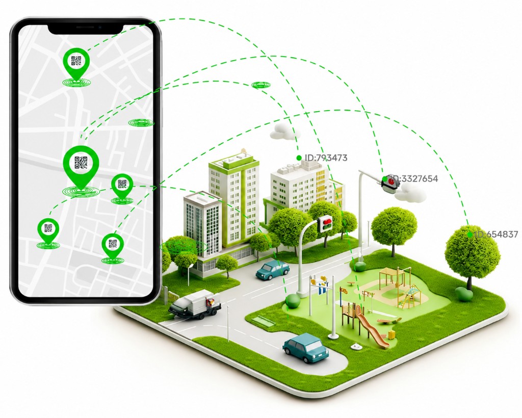
Organizations that manage assets, facilities and infrastructure deployed in the field need an up-to-date picture at any given moment. The solution connects physical assets, field teams and decision-makers through a map-based command-and-control system that includes digital identification of assets, real-time field updates and operational dashboards for management and control.

Learn more

WaterNet
Water utilities

WaterNet

Water and sewage utilities must manage complex, constantly changing infrastructure networks while maintaining continuous water supply and providing a rapid response to faults, maintenance work and emergency events. The solution made it possible to create a unified, up-to-date source of information for all network assets, connect the engineering, operations, field and customer-service departments, and provide a complete picture that supports real-time decision-making.

Learn more
BezeqNetwork
Communications

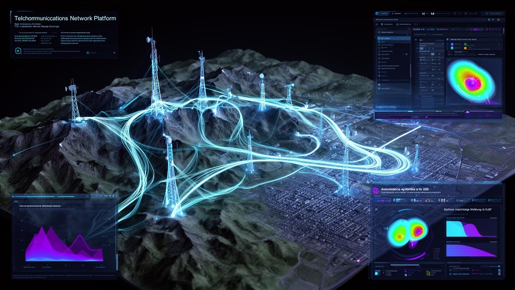
BezeqNetwork

A national telecommunications company needed to manage and maintain a complex infrastructure network including physical infrastructure, optical fibers, communications equipment and active network components deployed across thousands of kilometers. The information had to serve a wide range of stakeholders in the organization — from planning and engineering teams, through execution and maintenance teams, to service and operations systems. The challenge was to create a unified source of information that would support the entire network life cycle, allow adaptation to the organization's unique business processes, and enable full synchronization between the different core systems.

Learn more
GeoTwins

in Numbers

Our experience, scale, and partnerships are reflected in variety of projects and collaborations with leading organizations in the field.

80+

Projects Completed

30+

Active Clients

50+

Company Employees

15+

Years of Experience

Our Partners

Milgam Milgam
Metropolinet Metropolinet
Octave Octave
Hexagon Hexagon
Commit Commit
Wetag Wetag
Caelus Space Caelus Space
Oterra Oterra

Our Clients

IDF IDF
IAI IAI
Planning Administration Planning Administration
Ministry of Energy & Infrastructure Ministry of Energy & Infrastructure
Survey of Israel Survey of Israel
Prime Minister's Office Prime Minister's Office
National Digital Agency National Digital Agency
Water Authority Water Authority
Ministry of Transport Ministry of Transport
Bezeq Bezeq
Ofek Aerial Photography Ofek Aerial Photography
Tel Aviv-Yafo Tel Aviv-Yafo
Medva Surveying & Engineering Medva Surveying & Engineering
Ramat Gan Municipality Ramat Gan Municipality
Sharonim Water & Sewage Sharonim Water & Sewage
Trans-Israel Highway Trans-Israel Highway
Tamar Regional Water Corp. Tamar Regional Water Corp.
Volcani Institute Volcani Institute
Mei Shemesh Mei Shemesh
Ashkelon Municipality Ashkelon Municipality
Technion Technion
Rehovot Municipality Rehovot Municipality
Netanya Municipality Netanya Municipality
HaBe'er HaShlishit HaBe'er HaShlishit
Nof HaGalil Nof HaGalil
Mei Ziona Mei Ziona
Peles Surveying
Peles Surveying

Let's talk

Tell us about your needs and our team will get back to you shortly.

Fields marked with * are required.

Optional — add details about your inquiry or leave blank.