
Our Projects
Projects
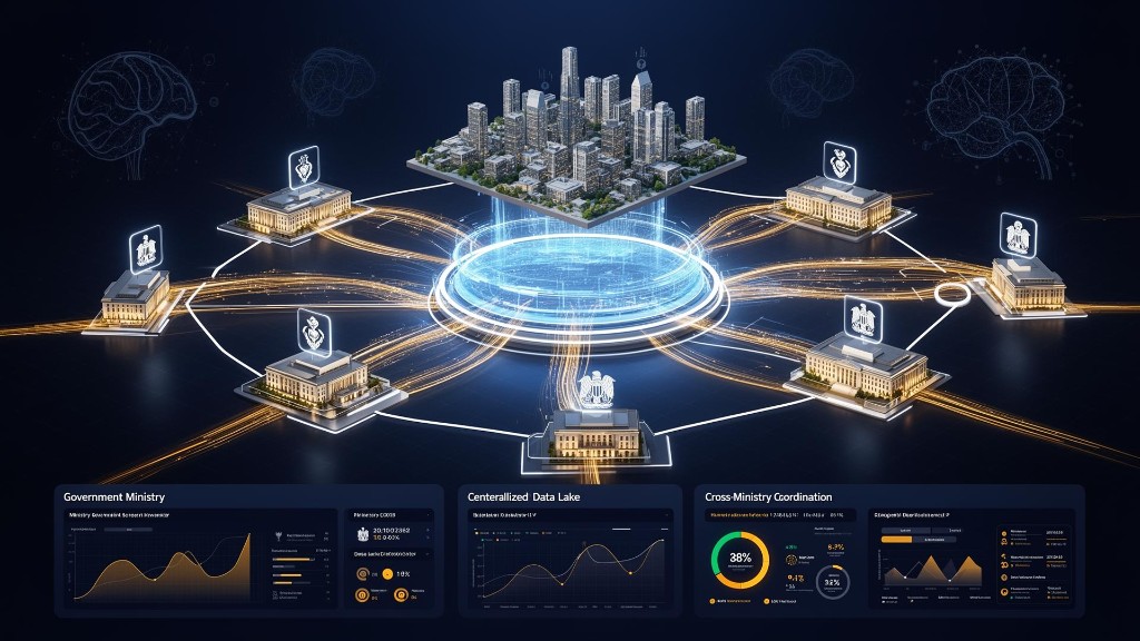
DataHub 360
Data Hub 360 is built on Google Cloud Storage (GCS) and provides a secure, flexible and scalable cloud infrastructure for managing, storing and making all of the organization's data sources accessible in one central place.
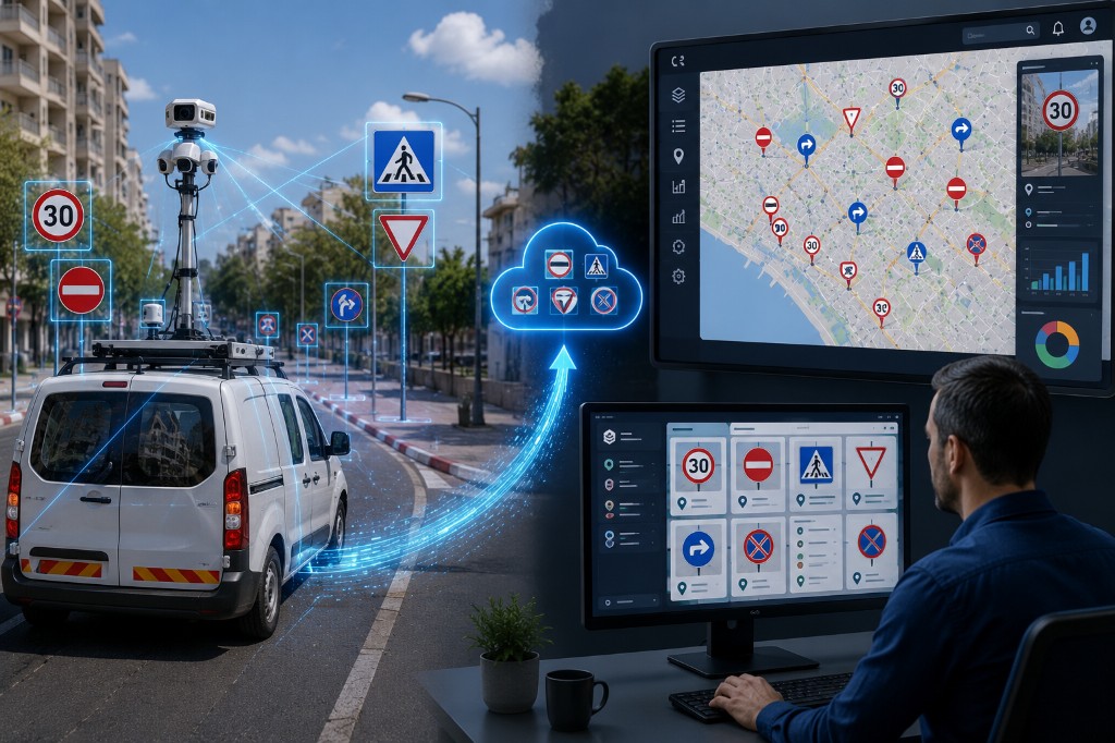
Road Asset Mapping & Management
A local authority needed to address the decentralized management of road signs, traffic arrangements and traffic-committee decisions, which relied on partial information and manual processes. The solution included a comprehensive road-sign survey and the establishment of a central geographic system for managing traffic infrastructure and decision-making, creating a unified, up-to-date and accessible source of information for all stakeholders in the authority.
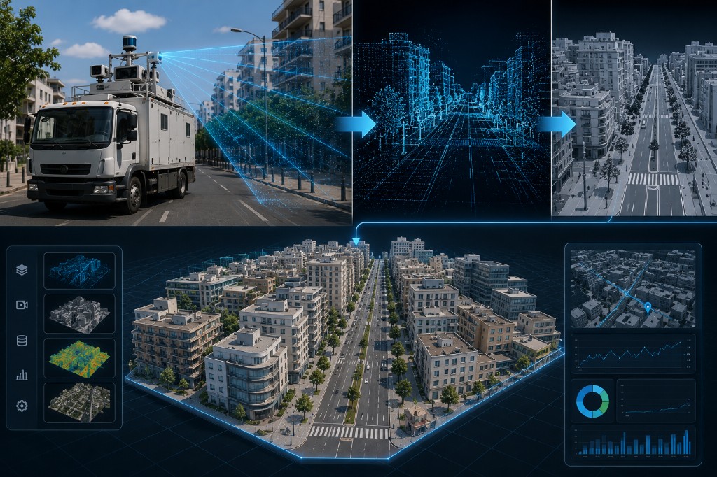
Smart City Digital Twin
Local authorities deal daily with hazards, faults, infrastructure defects and resident complaints, but in most cases the information arrives only after the problem has already occurred. The solution enables the authority to continuously monitor the public space, detect hazards in real time and act proactively before complaints are filed or damage is caused to residents and infrastructure.
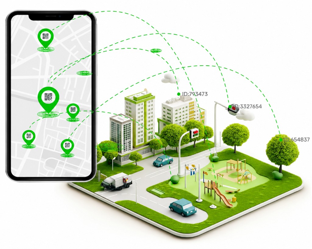
WeTag - Smart Tags
Organizations that manage assets, facilities and infrastructure deployed in the field need an up-to-date picture at any given moment. The solution connects physical assets, field teams and decision-makers through a map-based command-and-control system that includes digital identification of assets, real-time field updates and operational dashboards for management and control.
BezeqNetwork
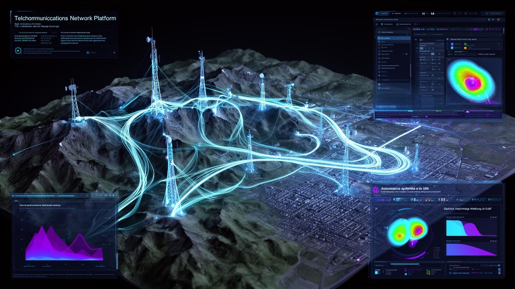
A national telecommunications company needed to manage and maintain a complex infrastructure network including physical infrastructure, optical fibers, communications equipment and active network components deployed across thousands of kilometers. The information had to serve a wide range of stakeholders in the organization — from planning and engineering teams, through execution and maintenance teams, to service and operations systems. The challenge was to create a unified source of information that would support the entire network life cycle, allow adaptation to the organization's unique business processes, and enable full synchronization between the different core systems.
WaterNet
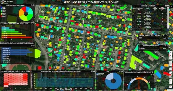
Water and sewage utilities must manage complex, constantly changing infrastructure networks while maintaining continuous water supply and providing a rapid response to faults, maintenance work and emergency events. The solution made it possible to create a unified, up-to-date source of information for all network assets, connect the engineering, operations, field and customer-service departments, and provide a complete picture that supports real-time decision-making.
Caelus.Space
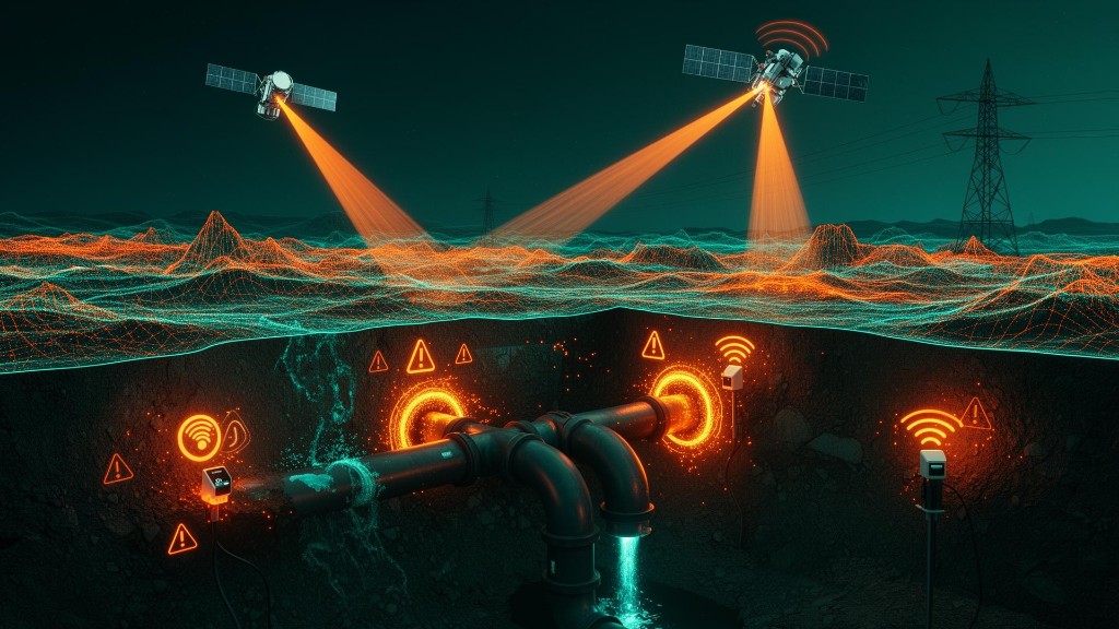
Large-scale infrastructure projects require continuous monitoring of ground movements, subsidence and environmental effects that may endanger infrastructure, buildings and the work environment. The solution makes it possible to detect ground changes and movements before actual damage occurs, using continuous satellite monitoring, digital models and advanced control tools for data-driven decision-making.
SmartGIS
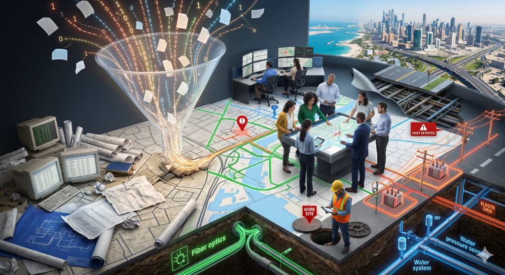
Organizations that manage infrastructure, assets and spatial information need to work with large volumes of geographic data arriving from many different sources. This solution provides a central platform for managing, maintaining and sharing geographic information, enabling the organization to manage data layers, produce maps and reports, and make location-based decisions in real time.
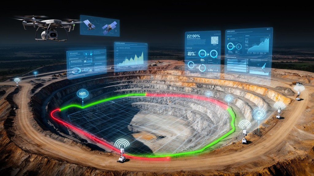
Satellite-based Quarry Monitoring
Regulators, government bodies and quarry owners must supervise dozens of mining and quarrying sites spread across vast areas, while ensuring regulatory compliance, protecting natural resources and preventing illegal activity. The solution provides continuous, automatic monitoring of quarries using satellite technologies, spatial data analysis and advanced models for detecting changes, anomalies and mining volumes — without the need for frequent field patrols.
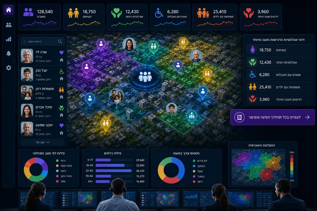
Population360
Local authorities and government bodies need to make fast, accurate decisions based on information arriving from many different sources. This solution unifies information from enterprise systems, the population registry, welfare, health and emergency systems and additional sources, and presents a complete geographic picture of the population for day-to-day management, emergency preparedness and tailored services to residents.