
SmartGIS
Organizations that manage infrastructure, assets and spatial information need to work with large volumes of geographic data arriving from many different sources. This solution provides a central platform for managing, maintaining and sharing geographic information, enabling the organization to manage data layers, produce maps and reports, and make location-based decisions in real time.

The business story
-
1
The Business Challenge
Government bodies, local authorities and water utilities manage large volumes of geographic information including infrastructure, assets, plans, service areas and field data. In many cases:
- The information is scattered across multiple systems.
- Different versions of the same data exist.
- It is hard to produce maps and outputs in a consistent way.
- Data update and maintenance processes are performed manually.
- Decisions are made without a complete geographic picture.
The organization needed a single platform enabling central management of all spatial information and serving as a basis for decision-making, planning and operations.
-
2
The Solution
An enterprise GIS platform was deployed that centralizes all geographic information and enables full management of spatial data layers. The solution includes:
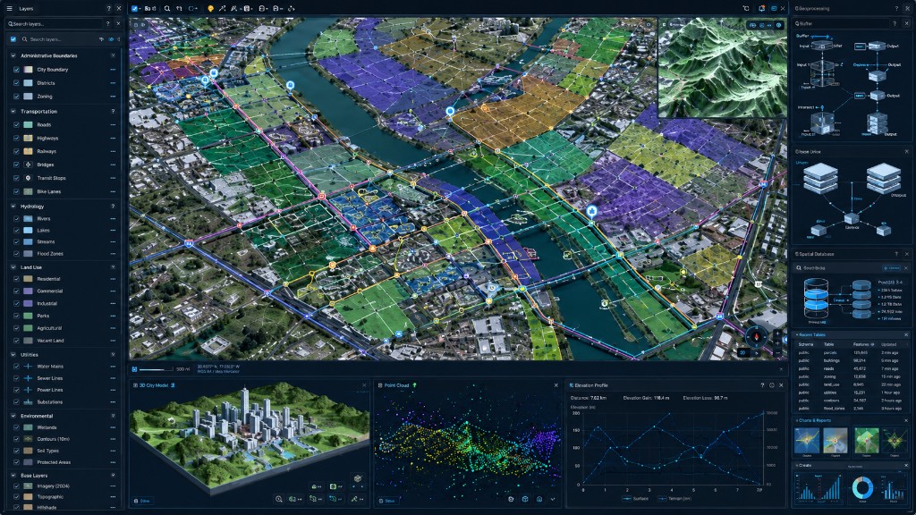
- Management and maintenance of enterprise GIS layers.
- Editing and updating of geographic data.
- Production of professional maps and cartographic outputs.
- Production of spatial reports and analyses.
- Connection to data sources and enterprise systems.
- Permissions and data-access management.
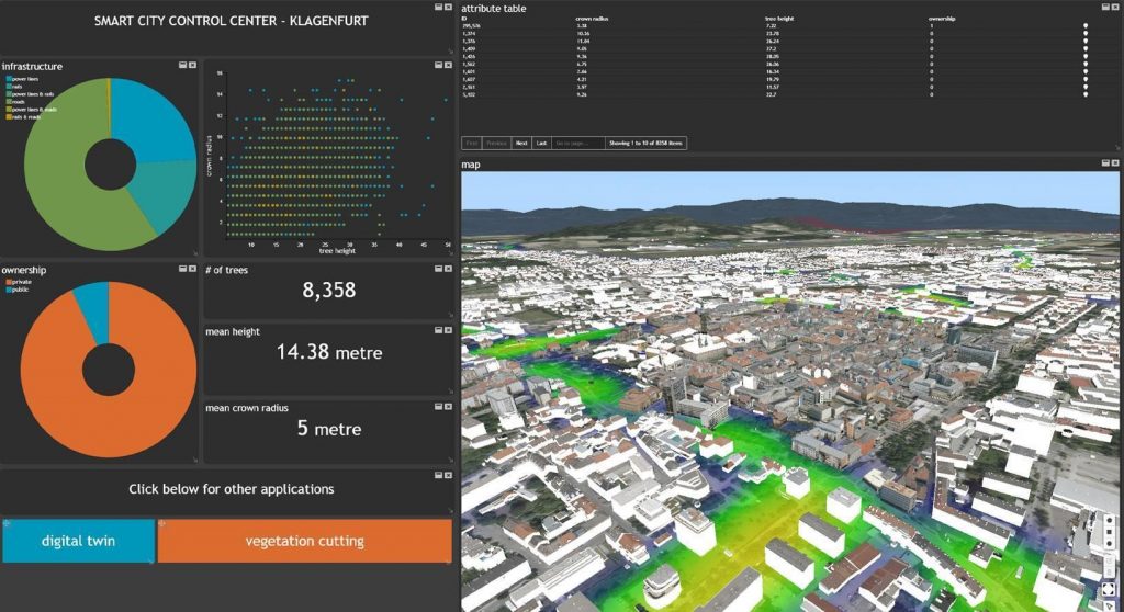
- Display of information on an interactive map interface.
- Support for planning, engineering and operations processes.
-
3
The Business Value
- A single geographic source of truth
Centralizing all spatial data in one central system. - Location-based decision-making
Integrating geographic information into planning, operations and management processes. - Improved data quality
Orderly management and updating of the organization's data layers. - More efficient workflows
Reducing manual work and accelerating map and report production. - Full support for engineering and operations units
Fast access to up-to-date geographic information for all roles. - Infrastructure for digital growth
A basis for Digital Twin systems, asset management, dashboards and advanced GIS solutions.
- A single geographic source of truth
-
4
Estimated deployment timeline
~4 Months to full deployment-
1
Proof of concept (POC, optional)
Capability proof and connection of initial data sources
~ 2 weeks -
2
Kick-off
Defining business goals and data sources
~ 1 week -
3
Characterization
Mapping needs, processes and the data model
~ 2-4 weeks -
4
Build & integration
Connecting systems, building the platform and dashboards, and testing
~ 2-3 months (depends on scope) -
5
Go-live
Training, onboarding and expanding usage
~ 1 week
-
1
-
5
Supporting products
Products implemented as part of this project
Want to hear more about this project?
Fill out the form below and our team will get back to you shortly.