
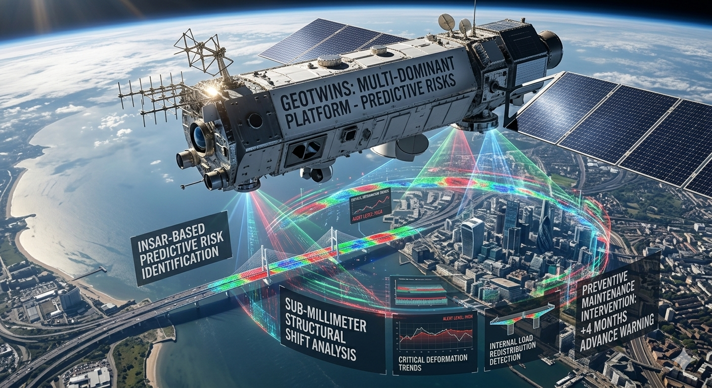
What Does “Infrastructure Failure Prediction” Mean?
Infrastructure failures do not happen overnight. In most cases, there are early warning signs: microscopic ground movements, gradual building settlement, changing loads, developing cracks, or hidden deterioration processes.
The main challenge is that many of these changes cannot be detected through routine inspections or by the human eye until the damage has already become severe and costly.
This is where remote sensing technology comes into play — particularly InSAR (Interferometric Synthetic Aperture Radar) technology.
How Does the Technology Work?
High-Resolution Monitoring from Space
Radar satellites continuously orbit the Earth and scan vast areas using radar waves. Unlike conventional optical imaging, this technology works at night, through clouds, and in challenging weather conditions.
By comparing scans captured at different times, it becomes possible to detect extremely small changes in the ground and structures — sometimes down to just a few millimeters.
This enables organizations to:
- Detect gradual land subsidence
- Monitor structural stability
- Identify movement in transportation infrastructure
- Predict potential collapses or future failures
- Continuously monitor urban and industrial areas
Combining Space Data with Artificial Intelligence
Collecting data is only the first step. The real power lies in the ability to analyze massive amounts of information over time and transform it into actionable insights.
An advanced Machine Learning and AI algorithms are used to:
- Detect unusual anomalies in ground movement
- Compare historical patterns
- Identify deterioration trends
- Rank risk levels
- Generate real-time alerts for areas requiring inspection
Instead of reacting after failures occur, organizations can shift toward a proactive and predictive maintenance model.
Why Is This Technology So Important Today?
Aging Infrastructure
In many cities worldwide, a significant portion of infrastructure and buildings was constructed decades ago. Natural wear, increasing population density, infrastructure works, and climate change are all increasing the risk of failures.
High Maintenance Costs
Traditional field inspections require significant manpower, time, and operational costs. Satellite-based monitoring enables large-scale coverage in a far more efficient and scalable way.
Data-Driven Decision Making
Governments, infrastructure companies, and public authorities increasingly rely on accurate and up-to-date data to prioritize investments, manage risks, and prevent critical incidents.
Key Applications of the Technology
Smart Cities & Municipalities
Monitoring the stability of buildings, roads, bridges, and dense urban areas.
Transportation & Infrastructure
Tracking railways, tunnels, highways, and national transportation systems.
Energy & Industrial Facilities
Monitoring industrial plants, pipelines, power stations, and energy storage facilities.
Construction & Real Estate
Identifying risks in construction projects and monitoring environmental impacts over time.
Insurance & Risk Management
Supporting early risk assessment and underwriting processes.
Moving from Monitoring to Prediction
The future of infrastructure management is not only about understanding what is happening now — but also about predicting what is likely to happen next.
By combining:
- Continuous satellite data
- Advanced analytics
- Artificial intelligence
- Machine learning
- Big Data processing
The Future Is Already Here
Space technologies that were once reserved for governments and defense agencies are now becoming essential tools for civil organizations, infrastructure companies, and enterprises.
The ability to obtain continuous, accurate, and data-driven insights from anywhere in the world is transforming the way infrastructure is managed, protected, and maintained.