Geotwins Community

Focused on GeoInt topics, the company's technologies and products, and sharing knowledge and innovative capabilities in the geospatial world.

WhatsApp group

A quiet group for technology updates, knowledge sharing, and professional questions among industry experts.

Join the group

Monthly newsletter

In-depth analysis, professional articles, and industry news — straight to your inbox once a month.

Articles

The Garbage Truck That No Longer Just Collects Waste — But Scans the Entire City

What if cities could detect potholes before residents report them? What if municipalities could identify broken streetlights, damaged sidewalks, illegal dumping, or safety hazards in real time — without sending dedicated inspection teams? That future is already here. In the era of smart cities, even garbage trucks are becoming advanced data platforms. Using smart cameras, artificial intelligence, and GIS technologies, municipalities can transform their waste collection fleets into continuous urban scanning networks operating across every street, every neighborhood, every day.


Read more

When the Map Becomes the Main Workspace

A decade ago, enterprise information systems were primarily built around tables, records, and text-based interfaces. Today, more and more organizations are realizing that this is no longer enough. In a world where nearly every piece of information is tied to a physical location, maps are no longer just a “nice-to-have” feature — they are becoming the central operational interface. In recent years, a clear trend has emerged: infrastructure companies, energy providers, fiber-optic operators, transportation organizations, and municipalities are transitioning to Geographic Information System (GIS)-based platforms. This is not merely a design upgrade or a technological shift, but a deep transformation in how organizations manage data, make decisions, and operate in the field.

Read more

HEXAGON Rebrands as OCTAVE

Brand and naming changes in technology platforms are often much more than replacing a logo or updating colors. Behind the scenes, these transitions usually reflect a broader strategic, conceptual, and business shift that signals a new direction for both the product and the organization. That is exactly what stands behind the transition from HEXAGON to OCTAVE. Over the coming months, users will gradually begin to see the new name appear across interfaces, login screens, sub-products, and supporting materials. In practice, however, this move represents a much broader evolution in how the platform is positioned and developed.

Read more

The Rise of GEOINT: How Geospatial Intelligence Is Transforming Decision-Making

In a world where data volumes are growing at an unprecedented pace, organizations no longer rely solely on information — they also need to understand where things are happening. This is where GEOINT (Geospatial Intelligence) comes into play, a rapidly evolving field that is becoming one of the most important operational tools for governments, defense agencies, infrastructure companies, and technology organizations. GEOINT combines geographic data, satellite imagery, sensors, GIS platforms, real-time information, and artificial intelligence to generate location-based insights that support faster and smarter decision-making. While the field was once associated primarily with military and intelligence operations, GEOINT is now expanding into nearly every industry, including smart cities, energy, transportation, agriculture, infrastructure management, insurance, environmental monitoring, and real estate.

Read more

Digital Twins Are Transforming Smart Cities

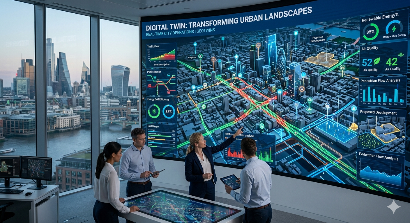
Smart cities are rapidly becoming a global reality, but managing complex urban infrastructure requires far more than traditional information systems. This is where Digital Twin technology comes into play — intelligent digital models that simulate cities, buildings, and physical infrastructure in real time.

GeoTwins Research
Read more

Technology That Predicts Structural Risks

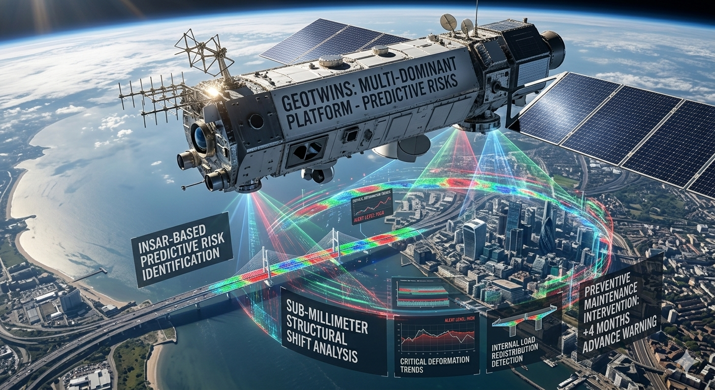
In a world where national infrastructure, urban buildings, and transportation systems are aging rapidly, the ability to identify risks before they become critical failures has become a strategic necessity. In recent years, advanced technologies based on satellites, data processing, and artificial intelligence have made it possible to monitor ground movement, structural settlement, and infrastructure changes with a level of precision that was previously impossible.

GeoTwins Research
Read more