
Caelus.Space
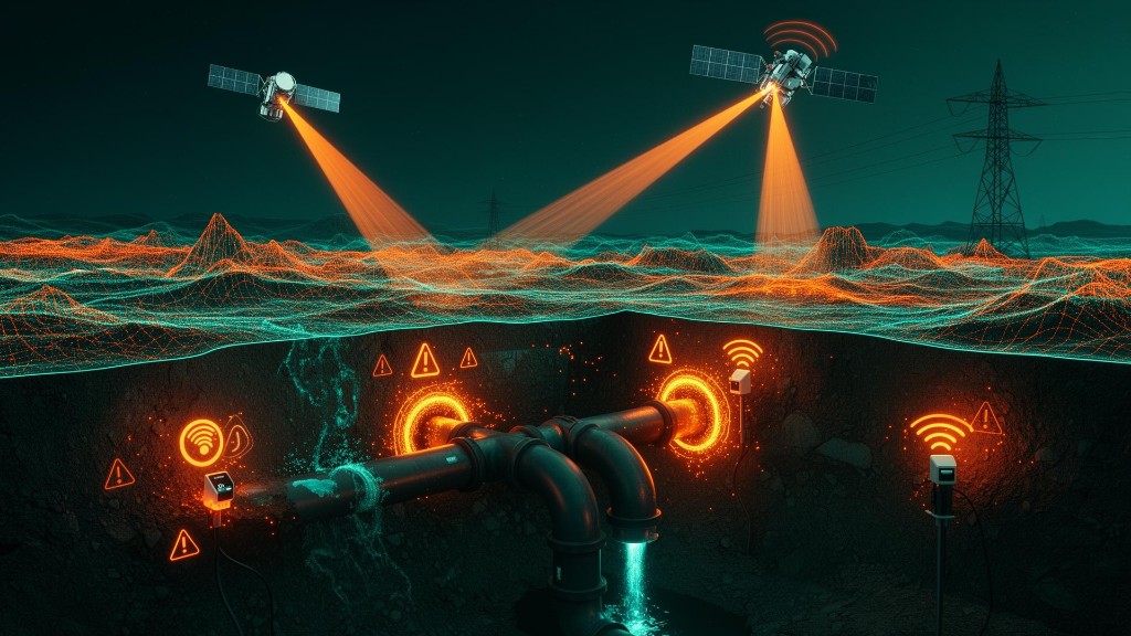
Large-scale infrastructure projects require continuous monitoring of ground movements, subsidence and environmental effects that may endanger infrastructure, buildings and the work environment. The solution makes it possible to detect ground changes and movements before actual damage occurs, using continuous satellite monitoring, digital models and advanced control tools for data-driven decision-making.
The business story
-
1
The Business Challenge
In complex infrastructure projects such as metro, railways, tunneling, energy and national infrastructure, any uncontrolled ground movement may lead to delays, budget overruns, damage to nearby buildings and even significant safety risks.
- In most cases the information is collected through point field measurements that do not provide full coverage of the project area and do not enable early detection of trends and changes.
- The organization needed a solution that would enable continuous monitoring of the entire project area, detect anomalies in real time and provide decision-makers with reliable, accurate information for proactive risk management.
-
2
The Solution
In collaboration with Caelus.Space, a solution was provided for monitoring ground and infrastructure movements using advanced satellite technologies. The solution includes:
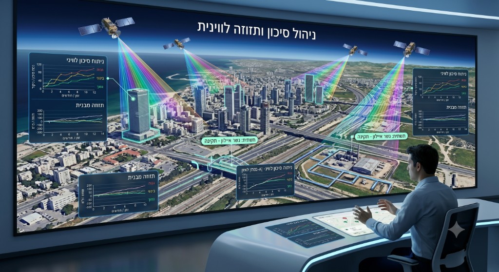
- Continuous monitoring of project areas using SAR satellites.
- Detection of subsidence and ground movements at millimeter-level accuracy.
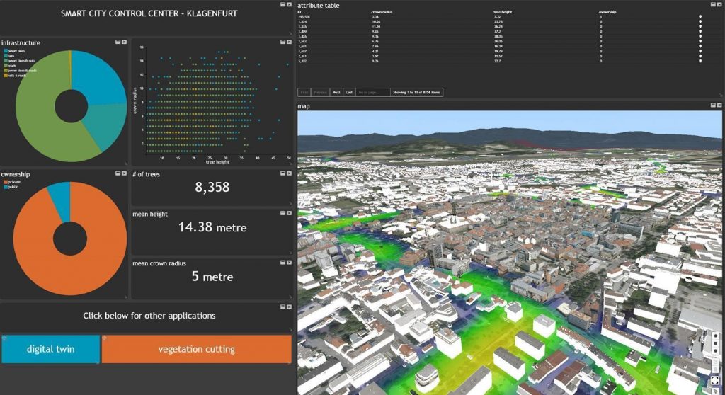
- Creation of a digital twin of the project environment.
- Tracking the effects of infrastructure work on nearby buildings and infrastructure.
- Receiving alerts on anomalies and unusual changes.
- Automatic report generation for project managers.
- Integration of the information into existing GIS and project-management systems.
- Preservation of measurement history and change control throughout the project life cycle.
-
3
The Business Value
- Shifting from reactive management to proactive risk management
Early detection of ground movements and anomalies enables the organization to handle problems before they become engineering, safety or legal events. - Reducing risks and costs in complex projects
Early identification of trends and faults helps reduce repair costs, project delays and budget overruns. - Data-driven decision-making
Project managers receive objective, accurate and continuous information for planning, control and execution management. - Full coverage of the project area
Continuous monitoring of the entire space with no dependence on physical access to the field, weather conditions or operating hours. - Complete engineering documentation throughout the project life cycle
Preserving the history of measurements, events and changes for control, investigation and future risk management. - Full integration with organizational systems
The satellite information is integrated into GIS, digital-twin, dashboard and project-management systems, creating a unified picture for all stakeholders involved.
- Shifting from reactive management to proactive risk management
-
4
Estimated deployment timeline
~4 Months to full deployment-
1
Proof of concept (POC, optional)
Capability proof and connection of initial data sources
~ 2 weeks -
2
Kick-off
Defining business goals and data sources
~ 1 week -
3
Characterization
Mapping needs, processes and the data model
~ 2-4 weeks -
4
Build & integration
Connecting systems, building the platform and dashboards, and testing
~ 2-3 months (depends on scope) -
5
Go-live
Training, onboarding and expanding usage
~ 1 week
-
1
-
5
Supporting products
Products implemented as part of this project
Want to hear more about this project?
Fill out the form below and our team will get back to you shortly.