
RiskVision360
A platform for monitoring risks and infrastructure based on satellite technologies, spatial models and automatic analysis of changes in the field. The system identifies anomalies, deviations and potential points of failure before they become operational, safety or economic events, enabling organizations to move from reactive management to proactive management.
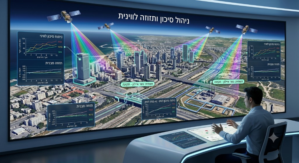
Continuous monitoring from space
- Automatic monitoring of areas and infrastructure using satellites
- Periodic scans with no need to travel to the field
- Coverage of extensive areas, nationally and internationally
- Continuous operation with no dependence on geographic location
Detecting anomalies & risk points
- Detecting unusual changes in terrain
- Early identification of trends that may lead to failure
- Comparing the current state to historical data
- Detecting abnormal activity in a short time
Risk calculation & severity assessment
- Rating the risk level for each site or asset
- Measuring the extent of change and potential impact
- Support for setting handling priorities
- Focusing resources on high-risk areas
Alerts & event management
- Generating automatic alerts when an anomaly is detected
- Tracking open events
- Managing handling and control processes
- Full documentation of all events over time
Maps, dashboards & situational picture
- Displaying all risks on an interactive map
- Real-time management dashboards
- Tracking trends and changes over time
- Support for data-driven decision-making
A flexible platform for many use cases
- Monitoring quarries and natural resources
- Monitoring infrastructure and engineering projects
- Monitoring ground subsidence and land movements
- Tracking transportation and energy infrastructure
- Control over construction and development sites
- Environmental monitoring and risk management
Frequently Asked Questions
How does the system detect risks?
The system continuously analyzes satellite data and compares it to historical information in order to detect changes, anomalies and potential points of failure.
What types of risks can be detected?
The system can detect ground movements, subsidence, topographic changes, anomalies in field activity, environmental changes and additional risks depending on the area of activity.
Is equipment required in the field?
No. Monitoring is performed remotely using satellite data, with no need to install sensors or dedicated equipment in the field.
How frequently is data received?
The frequency varies depending on the satellite data source, but the system performs periodic, continuous monitoring and presents changes on an ongoing basis.
How are alerts received?
When an anomaly or significant change is detected, the system generates an alert and displays the event on dedicated maps and dashboards.
Can different risk levels be defined?
Yes. Criteria, alert thresholds and risk ratings can be defined according to the organization's needs.
Is the system suitable for nationwide-scale monitoring?
Yes. The platform is designed to monitor areas, infrastructure and assets across a wide deployment, including hundreds of sites and thousands of kilometers of infrastructure simultaneously.
Interested in this product?
Fill out the form below and our team will get back to you shortly.