
Satellite-based Quarry Monitoring
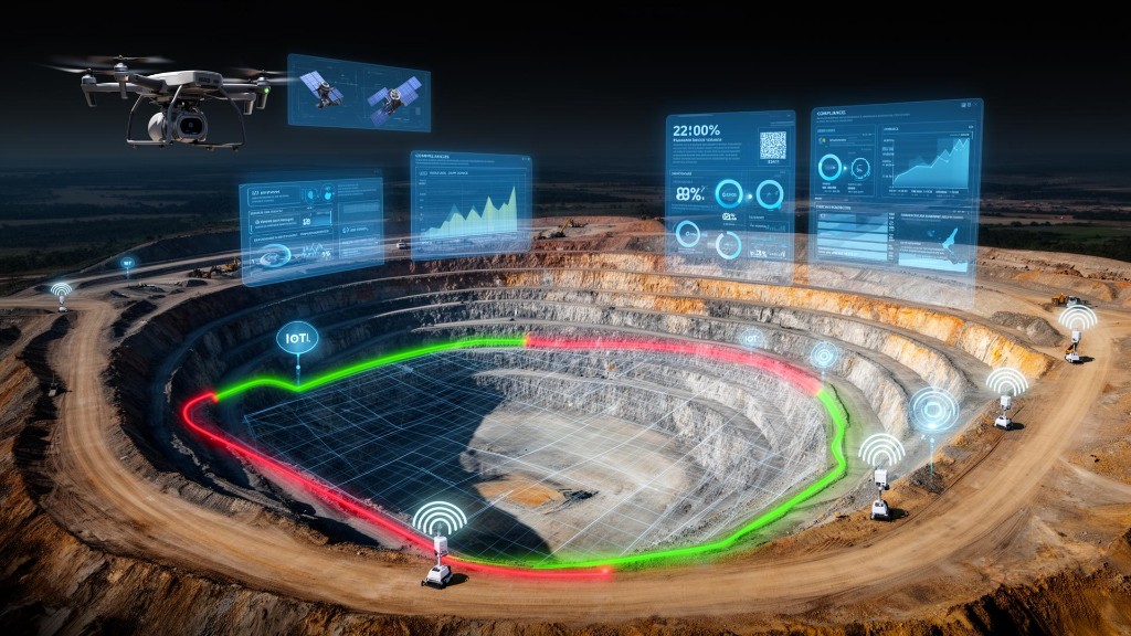
Regulators, government bodies and quarry owners must supervise dozens of mining and quarrying sites spread across vast areas, while ensuring regulatory compliance, protecting natural resources and preventing illegal activity. The solution provides continuous, automatic monitoring of quarries using satellite technologies, spatial data analysis and advanced models for detecting changes, anomalies and mining volumes — without the need for frequent field patrols.
The business story
-
1
The Business Challenge
Supervisory and regulatory bodies are required to manage and inspect dozens of quarries and mining sites operating simultaneously across the country. The main challenges include:
- A shortage of manpower for ongoing supervision.
- Remote quarrying sites that are difficult to access.
- Difficulty in detecting anomalies in real time.
- A lack of up-to-date information on mining volumes and changes in the field.
- Illegal quarrying and deviations from license terms.
- A gap between the frequency of inspectors' visits and the pace of the changes occurring in the field.
- As a result, enforcement processes are often based on partial information, sample inspections and a delayed response to events that have already occurred.
-
2
The Solution
A platform for monitoring and supervising quarries was developed, based on satellite data, geospatial analysis and automation of control processes. The solution includes:
- Continuous monitoring of all quarries using satellites.
- Detection of topographic changes and mining volumes.
- Calculation of quarrying volumes and comparison between periods.
- Detection of anomalies and illegal activity.
- Creation of digital terrain models (DTM).
- Generation of automatic alerts and management reports.
- Integration with GIS, CRM and organizational dashboards.
- An up-to-date picture of all quarries from a single system.
-
3
The Business Value
- Shifting from sample-based supervision to continuous supervision
Instead of relying on point field inspections, the organization receives an up-to-date, continuous picture of all the supervised sites. - Early detection of anomalies and illegal activity
The system makes it possible to detect anomalies and changes in a short time and act before significant economic and environmental damage is caused. - A significant streamlining of supervision resources
Reducing the need for frequent field patrols and directing inspectors to the sites that truly require attention, while making more efficient use of manpower. - Data-driven decision-making
Managers and regulators receive measurable data on mining volumes, field changes and trends over time for enforcement, planning and control. - Protecting natural resources and increasing revenue
Accurate identification of quarrying activity helps protect natural resources, increase royalty collection and reduce losses resulting from illegal activity. - Infrastructure for managing natural assets on a national scale
The solution makes it possible to supervise dozens and even hundreds of sites simultaneously, with no dependence on geographic location, weather conditions or field accessibility.
- Shifting from sample-based supervision to continuous supervision
-
4
Estimated deployment timeline
~4 Months to full deployment-
1
Proof of concept (POC, optional)
Capability proof and connection of initial data sources
~ 2 weeks -
2
Kick-off
Defining business goals and data sources
~ 1 week -
3
Characterization
Mapping needs, processes and the data model
~ 2-4 weeks -
4
Build & integration
Connecting systems, building the platform and dashboards, and testing
~ 2-3 months (depends on scope) -
5
Go-live
Training, onboarding and expanding usage
~ 1 week
-
1
-
5
Supporting products
Products implemented as part of this project

Want to hear more about this project?
Fill out the form below and our team will get back to you shortly.