Our Products

Products

Alto Enterprise (M.App Enterprise)

A GIS platform for managing business processes and organizational tasks on top of a map interface. The system lets you manage forms, workflows, approvals and tasks end to end, while generating dashboards and real-time business insights with high, precise visualization.

Learn More
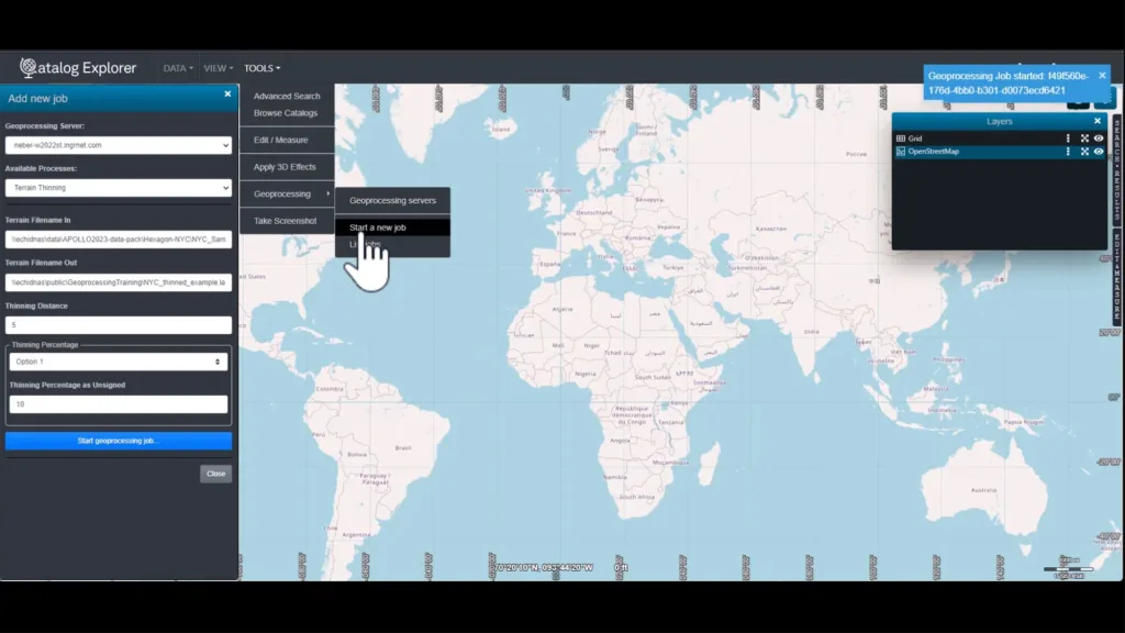
Alto Data Management (ERDAS APOLLO)

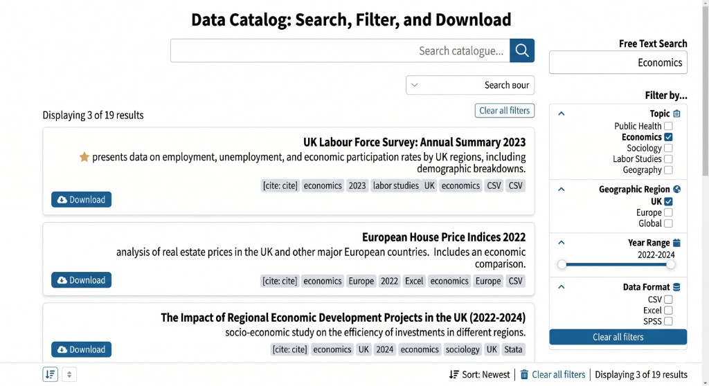
A cloud-based enterprise data catalog that centralizes and manages all of the organization's information assets from a variety of systems and sources, including structured, semi-structured and unstructured data, geographic data and documents. The platform has a dedicated management interface where data teams and GIS developers manage all enterprise information, while end users consume it through a map interface that offers advanced search, preview and download of the requested data.

Learn More

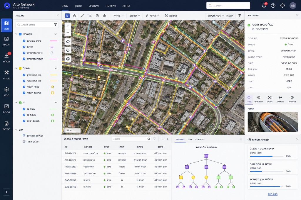
NetWorks Information Management (NetWorks Comms)

A comprehensive GIS and planning system for managing and documenting complex networks of communications and power infrastructure across their entire lifecycle — from planning, through rollout and construction, to ongoing operation. The system is designed to manage optical fiber, communications, power and gas, including tracking active network components and managing large-scale live networks.

Learn More

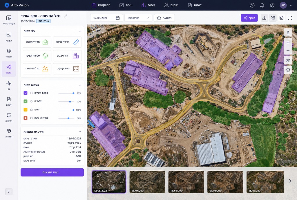
Imagine

A system for processing and analyzing aerial imagery, satellite imagery and advanced scans, enabling you to extract information and insights from the field for planning, monitoring and decision-making.

Learn More

Alto Server (LuciadFusion)

A toolset for GIS teams, data managers and data teams that lets you unify, manage and deliver geographic and location data to systems, applications and services across the organization. It includes Alto Studio — a browser-based management interface for uploading, organizing and publishing data simply and intuitively, with no need for deep development knowledge or complex GIS processes.

Learn More

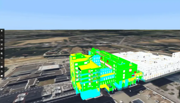
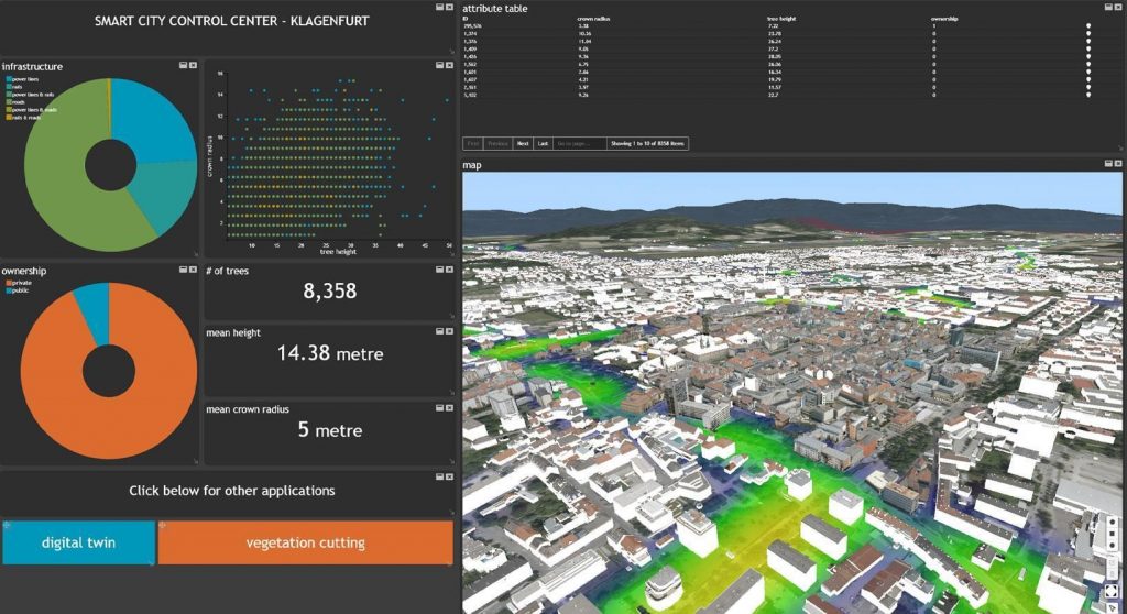
Alto Twin (HxGN Smart Sites)

A Digital Twin platform for creating a digital representation of assets, facilities and infrastructure. The system enables monitoring, analysis and simulation of assets and processes in a 3D environment.

Learn More

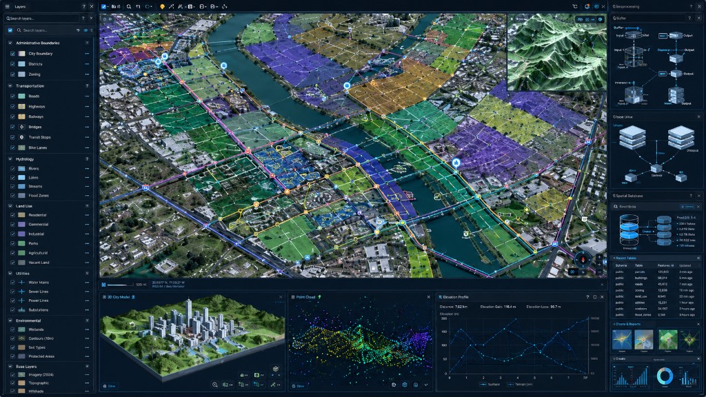
GeoMedia Mapping Manager

A GIS for GIS professionals and analysts to manage, edit and maintain geographic data layers and spatial databases, serving as the foundation for location-based information management in the organization.

Learn More

ECW Compression

An advanced engine for compressing, storing and distributing aerial imagery and large mapping files, enabling fast and efficient work with substantial files.

Learn More

Alto Mass Transit (HxGN Mass Transit)

A dedicated system for managing and planning public-transport networks and mass-transit infrastructure. It helps manage lines, stations, routes and transport infrastructure on an advanced GIS platform.

Learn More

OnCall Security (Guardian)

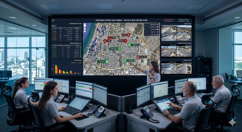
A command-and-control system for managing security, safety and emergency events in real time across organizations. It provides a unified situational picture, supports decision-making and assists in managing forces, tasks and operational events.

Learn More

Enterprise Data Catalog

An advanced enterprise platform that centralizes information from a variety of sources and systems, enabling you to manage, analyze and deliver business and geographic data in a secure, flexible, cloud-based environment. The platform provides a unified foundation for decision-making, data sharing and the operation of data-driven processes at enterprise scale.

Learn More

WeTag

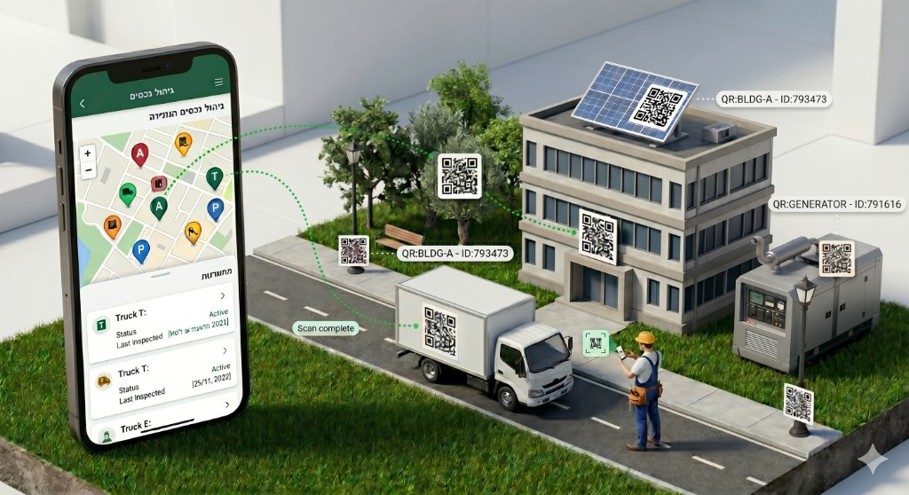
A solution for managing, monitoring and controlling assets, infrastructure and field equipment through a smart digital identity. The system connects the physical world to the digital world and enables immediate access to information, field data updates and real-time workflow management — all from a map interface and central dashboards.

Learn More

RiskVision360

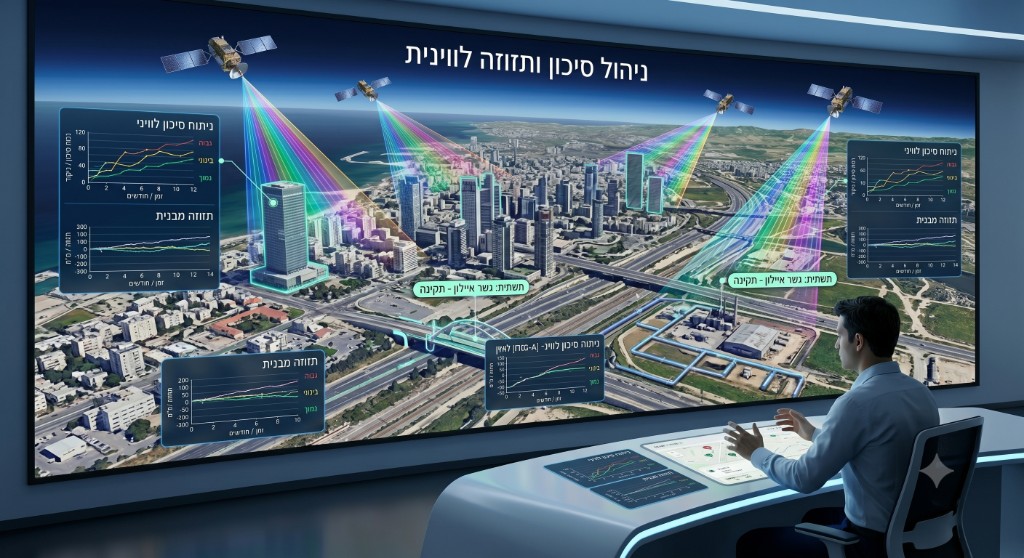
A platform for monitoring risks and infrastructure based on satellite technologies, spatial models and automatic analysis of changes in the field. The system identifies anomalies, deviations and potential points of failure before they become operational, safety or economic events, enabling organizations to move from reactive management to proactive management.

Learn More